1
BAYOU STATE TRAIL ASSOCIATION
Established 2021

Central Louisiana
At a length of approximately 180 miles, this region features the historic Natchitoches Area, the Kisatchie and Evangeline Districts of Kisatchie National Forest, and provides you with the rolling hills known for the region. It comprises three sections which include the Greater Natchitoches Area, Kisatchie Section and Crossroads Section.
Greater Natchitoches Area:
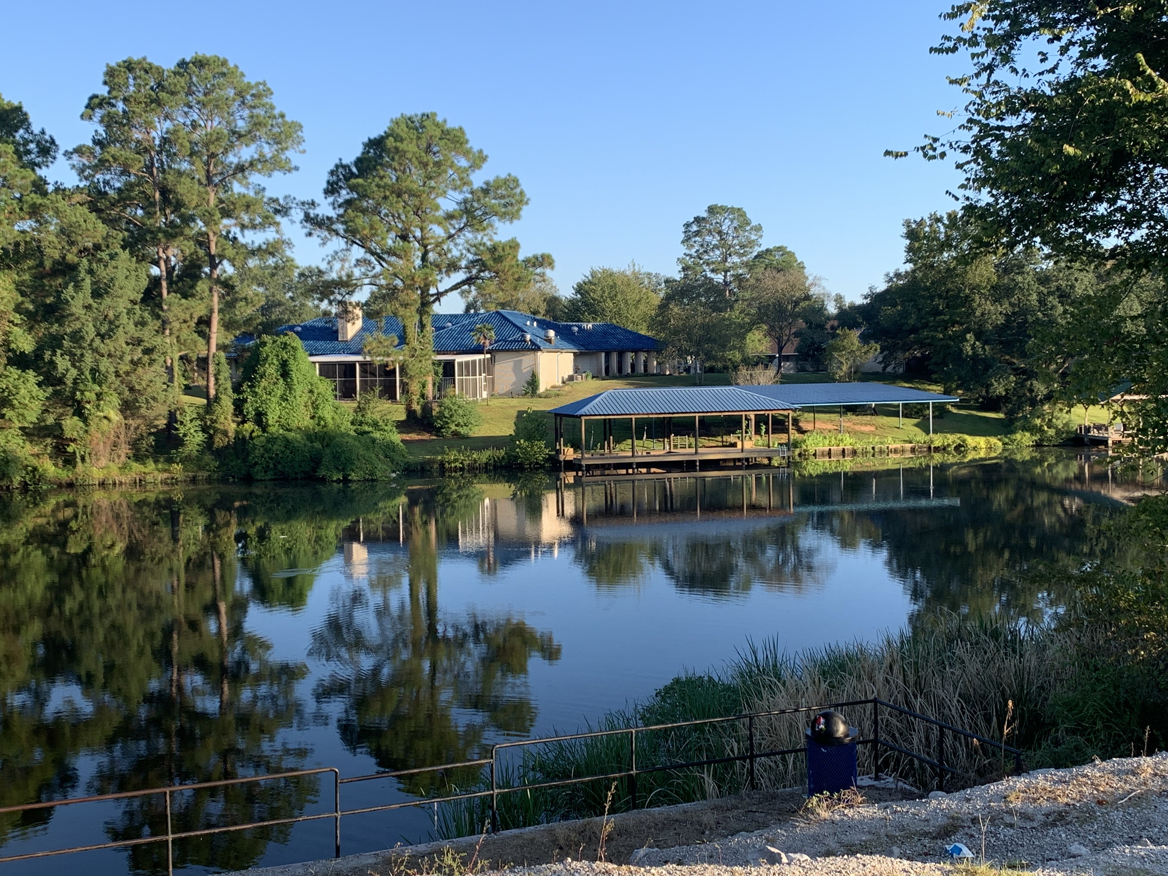
For a total length of approximately 65 miles, this section starts at the Gum Springs Campground inside the Winn Ranger District of Kisatchie National Forest, where you experience 2 miles of the Gum Springs Recreational Trail, before following over 15 miles of remote forest roads inside Kisatchie, leading up to your approach to the City of Natchitoches, home of the Festival of Lights, which is the 2nd largest Christmas Festival in the United States. This is a wonderful place to visit, featuring its Historical Downtown District, boat tours along the Cane River Lake, and the Cane River Creole National Historical Park. There are several designated campsites along this section including Midway RV Park, Grand Ecore RV Park, and Pecan Orchard RV Park.
Kisatchie National Forest:
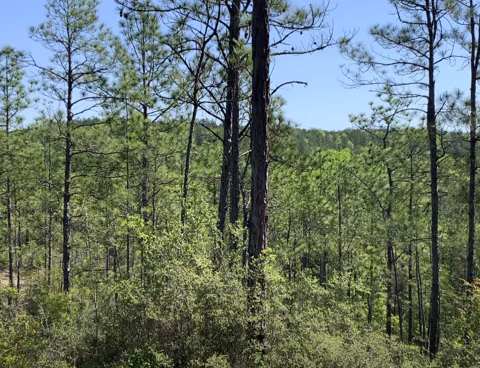
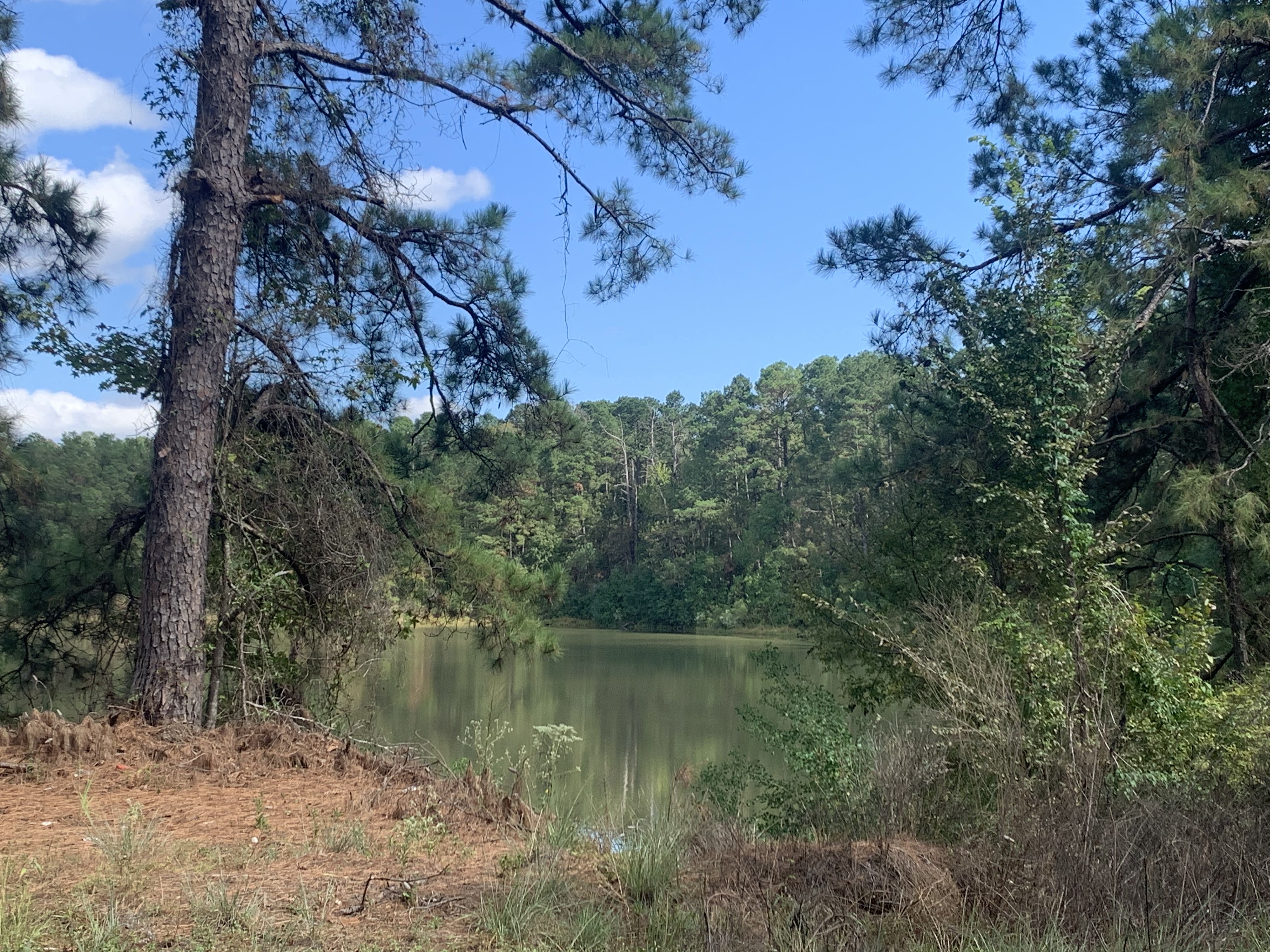
This section features the most established nature trails within the Kisatchie and Evangeline Ranger Districts. Spanning just over 90 miles, it includes the Kisatchie Hills, featuring sections of the Sandstone and Caroline Dormon Trails and the epic Backbone Trail, providing you with overlooks of the hills, so unique, that you won't believe you're in the State of Louisiana! Upon leaving the Kisatchie District, a connector exists between the two districts, utilizing paved and nonpaved country roads, before entering the Evangeline District. Once entering, you reach the historic Wild Azalea Trail, one of the most popular hiking trails in Louisiana. Several primitive campsites and crystal clear water sources are available, including designated campsites at Valentine Lake Recreational Area, along with primitive campsites at the Evangeline Camp, which provides vault toilets. This portion of the trail is closely adjacent to the City of Alexandria, and once completing the Wild Azalea Trail, it eventually passes you through the Town of Woodworth, a great stopping point for hot food and a resupply. It concludes with the area featuring the historic Camp Claiborne, one of the largest military training facilities during World War II, which includes the Loran Campground, a great option that provides designated campsites and restrooms.
Crossroads Section:
This is the trail's shortest section, connecting Kisatchie National Forest to Chicot State Park. The total length is approximately 35 miles with most of it within Central Louisiana, and the remaining 7 miles officially in South Louisiana. It showcases the geographical and cultural changes that occur between the two regions, starting south of Forest Hill, and going through the Towns of Glenmora and Turkey Creek, which both provide food and resupply options. Camping is available at the former Turkey Creek Speedway, which is currently the only designated campsite in this section.
1
1
The Bayou State Trail Association is a Louisiana non-profit organization.
Copyright © 2024 Bayou State Trail Association. All Rights Reserved.